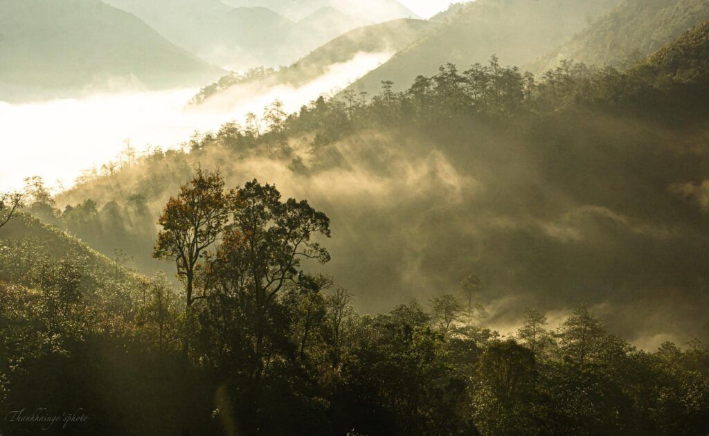
On the Vietnam-China border, Pu si lung Peak is the highest mountain guarding the border of the Fatherland. It is considered one of the most difficult trekking routes for professional trekkers.
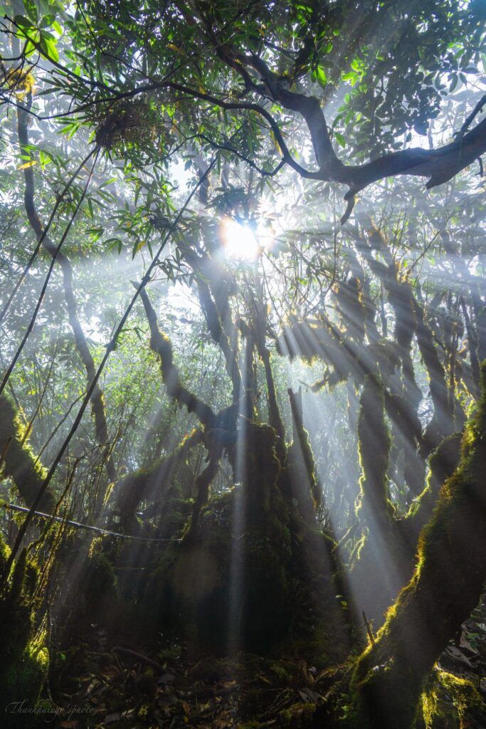
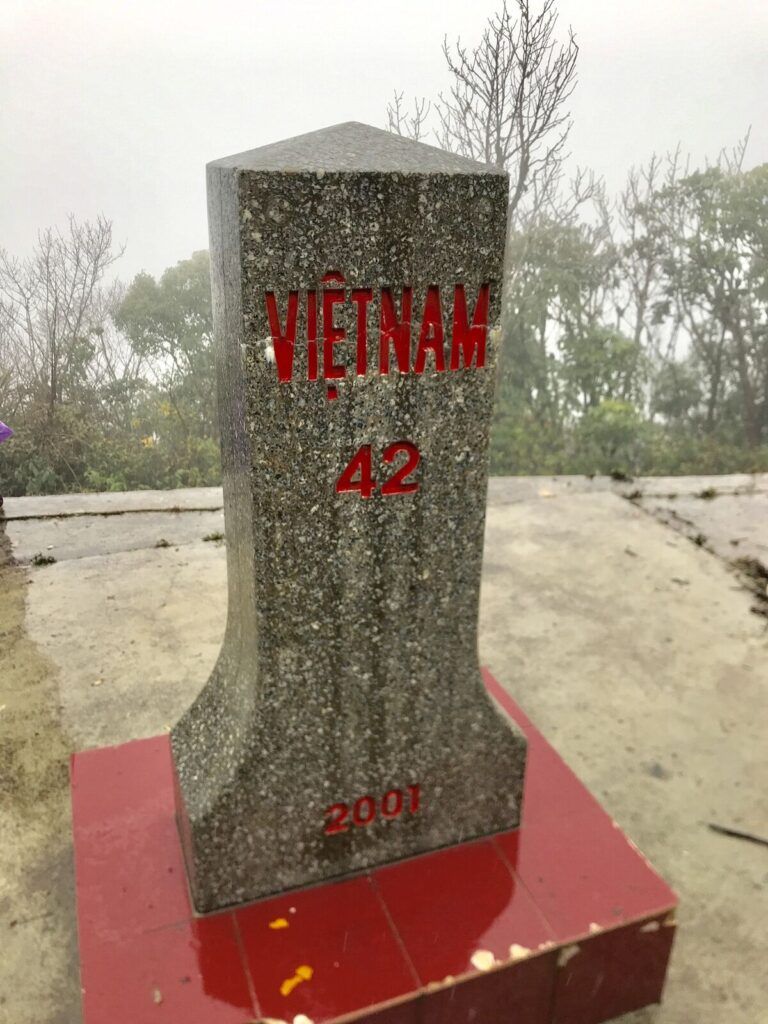
The journey to conquer Pusilung will surely bring many challenges and unforgettable experiences. The trekking route follows along large streams with many rapids and waterfalls. When you reach an altitude of 2800m, you will encounter Marker 42 – one of the highest border markers in Vietnam. From Marker 42, it is another 17km of forest path to the top. From here, you will have to go through many terrains: high slopes, deep ravines, through cardamom forests, through dense bamboo forests taller than a person’s head,… And you will be able to admire the ancient rhododendron forest with giant trees, especially the scenery will be very beautiful when the flowers bloom.
Geography Location of Pu si lung
Pusilung Peak is a mountain with an altitude of 3,080 meters, located in Pa Ve Su commune, Muong Te district, bordering China. It is the second highest mountain in Vietnam, after Fansipan
Best time to trek to Pu si lung
In terms of when to visit, you can go to Pu Si Lung at any time of year. Each season has its own characteristics and offers its own unique experiences.
However, according to the experience of those who have been to Pu Si Lung, spring and summer are the best times to go. This is because the natural scenery is fresh at this time of year, making it more beautiful and romantic than ever.
In winter, fewer people go to Pu Si Lung. Although the weather is cool, the scenery is not very special. This is because it rarely snows here in winter, so the landscape is dry and barren, not suitable for sightseeing
How to go to Pu si lung
Hanoi is about 450km from Muong Te. There is only one bus company that specializes in this route, which is the Ngan Ha bus company that departs from My Dinh bus station at 7pm.
In the early morning, you will arrive at Muong Te bus station, then rent a motorbike and drive more than 40km to Pa Ve Su.
Trekking route of Pu si lung
Day 0: Hanoi – Muong Te / Sleeper Bus
5:30 PM: Arrive at My Dinh bus station.
Day 1: Muong Te – Pa Ve Su – Shelter
5:30 AM: Arrive in Muong Te, check in, receive trekking equipment, and prepare luggage.
7:00 AM: Have breakfast at a local restaurant.
7:30 AM: Depart from Muong Te town to Pa Ve Su commune by pickup truck and motorbike.
9:30 AM: Arrive in Pa Ve Su, the group registers for temporary residence with the commune, reports to the Border Guard Station. Then, take a motorbike 8km to the hydroelectric dam, the laterite road is downgraded so it is quite bad.
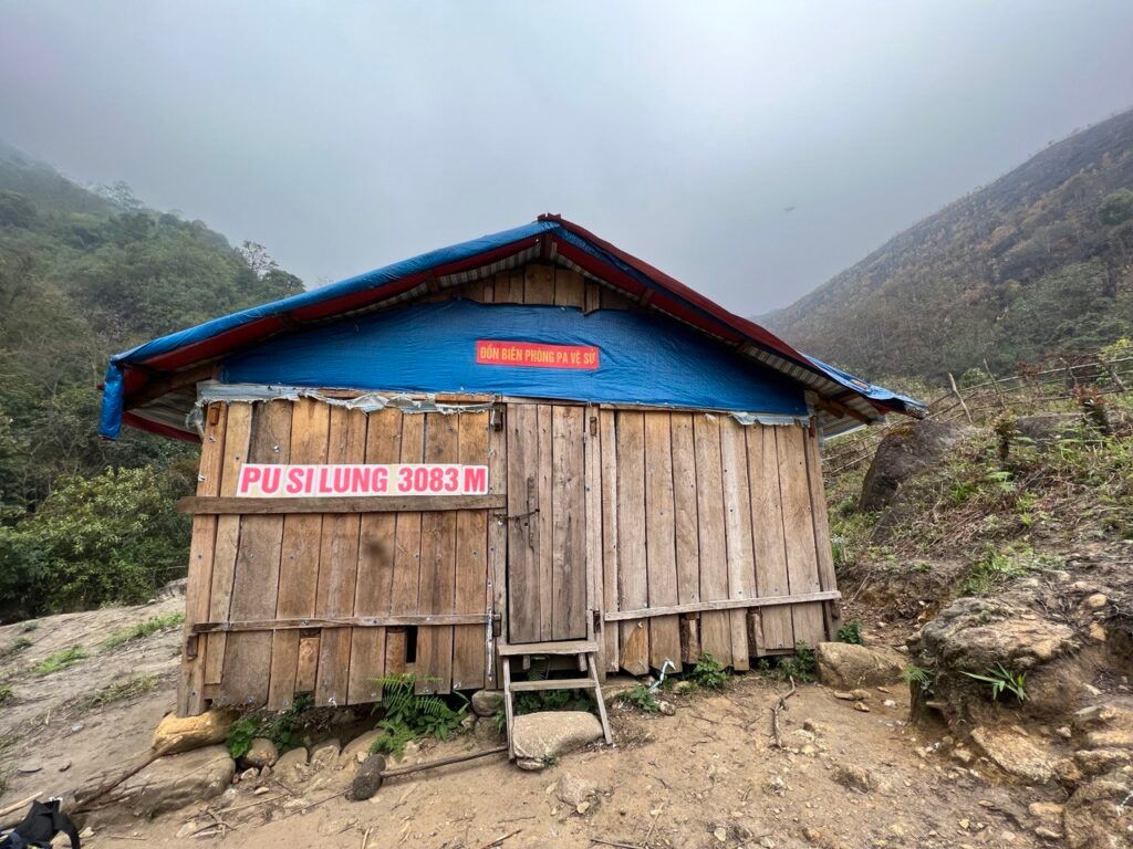
12:00 PM: Have lunch and rest.
Continue the journey is a quite steep mountain slope, about 1.6 km long, then go gently along the mountain ridge to the La Hu people’s Ong Ba Gia stilt house, climbers call it “Ong Gia stilt house”.
From the stilt house, go down the hill 2 km to the big stream, move another 2km of trail to the resting stilt house at an altitude of 1700m.
Then there is time for the group to shower, have dinner and rest.
Day 2: Campsite – Pu Si Lung Peak – Campsite
5:00 AM: Wake up, do personal hygiene and then prepare breakfast.
6:00 AM: Start the journey, conquer Pu Si Lung peak.
The first stage is mainly to climb up the hill through the low cogon grass hills, the group needs to go early to enter the old forest before the sun rises to avoid losing energy and dehydration. The journey from the shelter to the top is about 6 hours. In turn, there are cogon grass hills, old forest slopes, bamboo and rhododendron forests, moss and lichen on the way to the top.
The old forest in Pu Si Lung is at an altitude of about 2650m, this place seems to be forgotten by the civilized world and the vegetation is almost intact.
11:30 AM the group will reach the top of Pu Si Lung at an altitude of 3083m above sea level. Meanwhile, the porter will prepare food, set up tables and chairs and the group will have lunch right at the top.
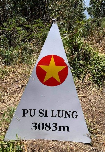
1:00 PM: Start going down the mountain, the group will follow the old road to move back to the stilt house. Expected to arrive at the stilt house after 4 hours and 30 minutes. The way down from the peak was the same as the way up, passing through border marker 42. The old path was long and difficult, with steep ascents and descents that challenged even experienced climbers. At around 5pm, we returned to the rock cave, where our porters had already prepared dinner.
Day 3: Shelter – Pa Vệ Sử – Mường Tè – Hanoi
This was a more relaxed day.
Stopped for lunch at a stream near the edge of the forest.
At around 1pm, arrived at the hydroelectric dam, where we picked up our vehicles and headed back to Mường Tè.

